
Rocks, from ponderous boulders to tiny grains of sand, are subject to the whims of moisture, weather and time as they tumble from surrounding slopes into rivers, pools and lakes.
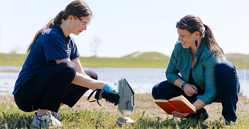
UC Merced Professor Claire Lukens is getting more detailed data about these natural processes by using a larger range of samples than those of earlier studies — a novel analytical framework that could hold important implications for the field of geology. The goal is to trace the origin of rocks in these waters, or catchments, to better understand the effects of weathering and erosion.
Her research, recently published in the Journal of Geophysical Research: Earth Surface and selected for an editor's highlight in Eos, the magazine of the American Geophysical Union, delves into where the sediment comes from in the Inyo Creek catchment, on the eastern side of the Sierra Nevada.
“Does the sand come from close by? Do the boulders travel long distances?” Lukens said.
The sand, it turns out, comes from everywhere, the fist-size-or-larger cobblestones come from the higher elevations in the watershed and the boulders come from pretty much where they are found.
“Boulders are found all around the landscape and if they start on a high slope somewhere, they don't make it all the way to where we sampled in the creek,” she said. “Maybe they break apart. They might move and be broken into smaller chunks.”
As a geomorphologist, Lukens studies how mountains erode and how rock converts into soil. She has been thinking about sediment origins since she started doing her Ph.D. She and her advisor were in the Tetons and started thinking about what kind of stories they could tell about landscape changes over time.
“We were standing there in the stream and asking each other what we would even take home as samples. What would be representative here?” Lukens said. “Do we just take the sand? Do we take a range of sizes? What represents what's happening in terms of sediment production and erosion across that landscape? It has become this long arc of research for me.”
There are many analytical methods in geology that use a handful of sand or a scoop of gravel to understand what's happening in that landscape, whether it's tectonic uplift or spatial pattern in erosion — maybe there are parts of the landscape that are eroding faster than others.
If a researcher was interested in the ages of the rock in the catchment, if they are examining a tectonic angle, a sand sample might give them all the data they are looking for. But if they are interested in how the spatial patterns in erosion change, the sand might not represent what is happening.
By demonstrating that not all sediment sizes tell the same story, Lukens’ new study has important implications for the geology field.
Inyo Creek gave Lukens’ lab a big elevation gradient to understand. The creek itself is only about 3 kilometers in area, but the highest elevations are nearly as high as Mt. Whitney, the tallest mountain in the contiguous United States at 14,505 feet.
What starts as a boulder may end as a cobble or even sand, so understanding how the sediment size changes across the landscape a big part of understanding erosion in the area and how the landscape is evolving, Lukens said. The researchers believe a lot of the sand in Inyo Creek started its life as boulders.
Lukens’ team used uranium-thorium-helium dating to figure out how long a rock has been near the Earth’s surface. On Earth, helium is a radioactive decay product of uranium and thorium. Rocks originate deep in the Earth's crust and cool slowly over time, eventually rising to the surface. This dating method “turns on the clock” about the time the rocks pass through 2 to 3 kilometers of depth.
“In this landscape in the eastern Sierra, there's a really nice change in age as you go up in elevation, so the highest elevation rocks are older with about a 55-million-year difference between the top and the bottom,” Lukens said. “If we measure it in the sediment, we can use that age to trace each grain back to where it came from in terms of its elevation of origin.”


